





For most of human history, measuring the physical world was a slow, hands-on job. Surveyors relied on tapes, levels, total stations and painstaking field notes. Architects worked from plans that were only as accurate as the measurements behind them. Engineers often had to revisit sites when a dimension was missed or something on the ground didn’t quite match the drawings.
That’s changing quickly. Technologies such as LiDAR are giving professionals a much faster way to capture the shape, size and position of real-world environments. Companies like LiDAR Solutions work with this kind of spatial data to create detailed digital representations of buildings, landscapes and infrastructure, which can then be used across surveying, engineering, design and construction.
The technology sounds futuristic, but its usefulness is actually very practical.
What LiDAR Does
LiDAR stands for Light Detection and Ranging. In simple terms, it uses laser pulses to measure distances between a sensor and surrounding surfaces.
A scanner sends out huge numbers of pulses, records how long each one takes to return and uses that information to calculate precise positions in three-dimensional space. The result is typically a dense collection of measurement points known as a point cloud.
Viewed on a screen, that point cloud can resemble a remarkably detailed 3D version of the real environment. Walls, roofs, roads, trees, machinery, pipework and terrain can all be represented according to their actual measured positions.
The key advantage is volume. Instead of manually measuring a handful of dimensions, LiDAR can capture enormous amounts of spatial information in a comparatively short period.
It Reduces the Risk of Missing Something
Anyone who has measured an existing building knows how easy it is to forget one awkward dimension.
You arrive on site with a checklist, measure doors, ceiling heights and wall lengths, take photographs and head back to the office. Two days later, somebody asks for the exact location of a beam you didn’t record.
That can mean another site visit.
A comprehensive laser scan can change the workflow because much more of the environment is captured at once. If a designer later needs to check the distance between two elements that weren’t originally considered important, the information may already exist within the scan.
This doesn’t remove the need for professional judgement, but it can reduce the number of situations where teams have to return purely because a basic dimension is missing.
Existing Buildings Become Easier to Document
Older buildings often present a particular challenge because their current condition may differ significantly from the original plans.
Walls are moved. Extensions are added. Services are rerouted. Renovations happen without every alteration being reflected accurately in the documentation.
By the time another renovation begins decades later, the available plans can be little more than a rough guide.
LiDAR scanning allows teams to capture what is actually there rather than relying entirely on what the drawings say should be there. The resulting data can be used to produce updated floor plans, elevations, sections or three-dimensional models.
For architects and engineers working on refurbishment projects, that can be enormously useful. Designing around an accurate representation of the existing structure is much easier than discovering halfway through construction that a supposedly straight wall isn’t straight at all.
Infrastructure Can Be Captured at Scale
The benefits aren’t limited to buildings.
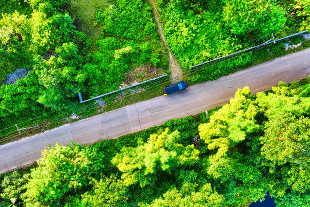
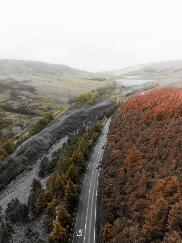
Road corridors, bridges, rail infrastructure, industrial sites and large areas of terrain can also be captured using different forms of LiDAR scanning. Depending on the project, sensors may be mounted on tripods, vehicles, drones or aircraft.
This opens the technology up to tasks that would be extremely time-consuming using purely manual methods.
A road survey, for example, may involve collecting information about the pavement, kerbs, barriers, signs, surrounding structures and terrain. Having a dense spatial dataset gives engineers a broader picture of the environment while reducing the need to measure every individual feature one at a time.
It can also reduce the amount of time personnel need to spend physically working around busy roads, rail corridors or other potentially hazardous environments.
The Data Can Feed Into Modern Design Workflows
Capturing information is only useful if people can actually work with it.
One reason LiDAR has become so valuable is its compatibility with modern digital design and modelling workflows. Point clouds can be processed and used as references for CAD drawings, Building Information Modelling and other forms of spatial analysis.
That means an architect might design an extension directly against a digital representation of the existing building. An engineer could examine clearances around infrastructure. A facilities team might use a 3D record to understand where equipment or services are located.
The scan becomes more than a collection of measurements; it becomes a digital reference for the project.
Accuracy Still Depends on Good Planning
LiDAR is powerful, but it isn’t magic.
A scanner can only record what it can effectively detect. Objects may obstruct one another, reflective surfaces can behave differently from ordinary materials, and complex sites may require multiple scan positions to achieve adequate coverage.
The intended use of the data also matters. A scan collected for broad topographic analysis may have different requirements from one intended to document detailed architectural features.
That’s why planning is still essential. Professionals need to consider the level of accuracy required, the area being captured and how the information will ultimately be used.
The technology may automate enormous amounts of measurement, but the quality of the result still relies on understanding the project.
It’s Changing How Teams Collaborate
Perhaps one of the less obvious benefits is that detailed spatial data can improve communication between people who aren’t physically on the site.
Instead of sending someone a handful of photographs and trying to explain where a particular structural element sits, teams can inspect a digital representation together. Designers, engineers, contractors and clients can all work from a shared reference.
That becomes particularly useful on complicated projects involving multiple disciplines. When everyone is relying on different drawings, photographs and assumptions, misunderstandings are easy. A well-produced spatial dataset gives the project team something concrete to refer back to.
A Digital Record Has Value Beyond the Immediate Project
One of the most interesting possibilities is what happens to the information after the original job is finished.
A detailed scan can provide a snapshot of a site at a particular moment in time. That may prove useful for future maintenance, renovation, condition assessment or comparison.
Infrastructure owners, for example, could potentially compare datasets captured at different times to identify physical changes. Building owners may retain accurate digital records that make future alterations easier to plan.
Instead of measuring the same environment from scratch every time something changes, organisations can build a more useful history of their physical assets.
Better Measurement Leads to Better Decisions
LiDAR isn’t replacing every traditional measuring technique, nor does every project require a three-dimensional laser scan. Sometimes a tape measure really is all you need.
Where the technology becomes especially valuable is on projects where complexity, scale or accuracy make comprehensive spatial information important. The ability to capture a real environment quickly and then revisit that information digitally can eliminate guesswork from many parts of the design and planning process.
And that’s ultimately the biggest shift. Measurement is becoming less about writing individual numbers onto a sketch and more about creating detailed digital versions of physical spaces.
For surveyors, designers, engineers and asset managers, that means more information is available before critical decisions are made — and fewer unpleasant surprises are waiting once work begins.







Leave a comment