





Some landscapes are beyond ordinary observation. Walking on a steep embankment can be dangerous, a large pile of material can change before you can measure it by hand, and a property that has been affected by a storm can have unstable ground. From eye level, these sites seem like separate slopes, shadows, and obstacles. From the air you can see the relationships, how the water flows, how the surfaces have moved and which areas need to be looked at further.
The visible part of the process is flying a camera over a site. Useful results require planning, control, suitable weather, lawful operation and careful processing. It requires tying thousands of overlapping images to real coordinates and comparing to known points. Without this discipline, a dramatic model may seem plausible but it carries uncertainties that make it unsuitable for engineering, design or quantity decisions.
A broader view, but not much more disruption
Drone surveying allows for detailed coverage of terrain, roofs, corridors and hard to access areas while reducing the time that people spend within dangerous zones. It is particularly useful when the site is large, complex in appearance or changing rapidly. The aircraft takes repeated shots from predetermined vantage points, providing a record that can be reviewed long after the field personnel are gone.”
The brief should begin with the decision that the data are to support. A visual inspection, an orthophoto, a contour model and a volumetric calculation do not need the same capture. The expectations of accuracy influence the flight height, overlap, control and processing. By defining the output in advance, the mission is not an exercise in collecting pretty pictures without enough data to do the intended analysis.
Flight Planning Starts on the Ground
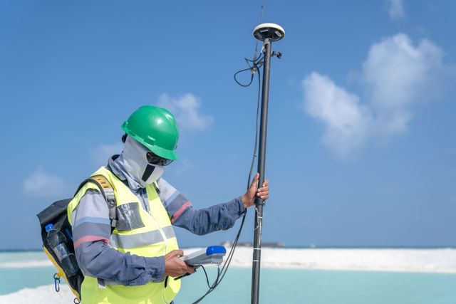
Before the operator launches, it checks airspace, people around, obstacles, weather, access and emergency options. The wind at roof level may be different to that next to the vehicle. Reflective water, repetitive surfaces or dense vegetation may affect image matching. Ground control or check points can be established so that the resultant model can be checked and not just trusted because it looks smooth.
Communication on the site is equally important. Workers need to know where the aircraft will be operating and what areas should be kept clear. On active projects the flight may have to work in around cranes, deliveries, or blasting schedules. Monitored mission means safety and data quality, both of which can be endangered by hastened manoeuvres and unanticipated motion.
Making Decisions From Images
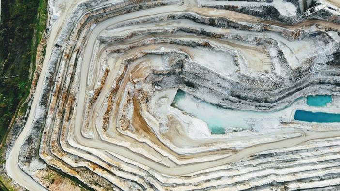
Processing software identifies common features in photographs and reconstructs their positions in three dimensions. The output could be a georeferenced image, point cloud, surface model or mesh. These are useful when they are cleaned, checked and presented on a scale that the project team can understand. Obvious artefacts, moving vehicles and poorly reconstructed edges should be highlighted instead of hidden.
One of the most powerful uses is comparison. Repeated capture can reveal earthwork progress, erosion, roof condition or changes following severe weather. If you fly each flight the same way, differences are easier to blame on the site instead of changed settings. The visual record can aid meetings, reporting and targeted ground inspection by showing exactly where change has taken place.
Not Every Site Needs an Aeroplane
Aerial capture is not always the best choice. Thick tree cover can obscure the ground, indoor spaces require other methods, and small sites may be measured more efficiently with conventional equipment. Operation can also be limited by privacy, airspace restrictions, or nearby hazards. A responsible recommendation explains how the approach delivers value, and how other techniques will yield a clearer result.
The strongest projects blend perspectives. Aerial information provides coverage and context, while ground measurements verify key features and tie the model to the required reference. The view from above, used with discretion, is no substitute for careful site work. It focuses attention, reduces exposure, and transforms a difficult landscape into an evidence-rich surface that teams can inspect, measure, and discuss with more confidence.





Leave a comment